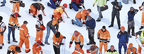
Infrastructure is the nervous system of our modern world. From the traffic and transportation routes that connect us, to the energy supply that powers our cities, to the complex industrial facilities that support our economy - these projects are of enormous size and complexity. Their planning, development and presentation pose immense challenges for engineers, architects and planning firms.
Digital tools help master this complexity. Highly detailed 3D models and realistic textures create a solid and visually compelling foundation for your infrastructure projects - from initial conception to final acceptance.
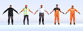
Whether you are planning a new highway, modernizing a rail network or visualizing a complex industrial facility, a comprehensive range of 3D models covers all key infrastructure areas.
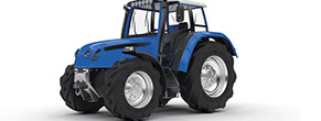
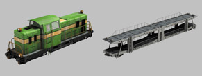
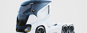
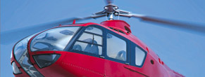
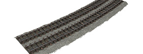
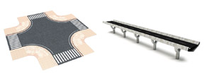
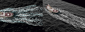
Transportation routes - roads and railways. Planning transport routes requires the utmost precision. Detailed 3D models of road sections, intersections and markings enable realistic traffic simulations. For rail transport, precise models of tracks, switches and signals are available, which are essential for visualizing railway lines.

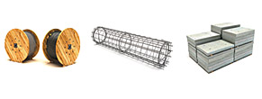
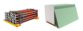
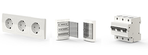
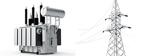
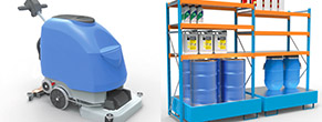
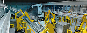
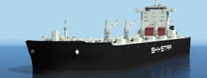
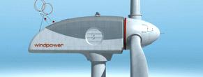
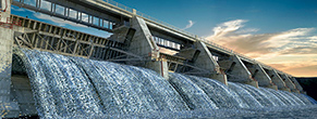
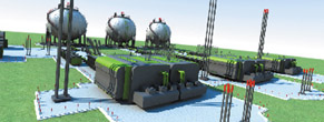
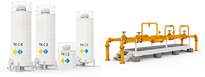
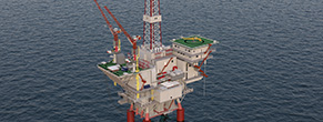
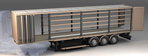
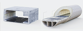
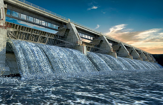
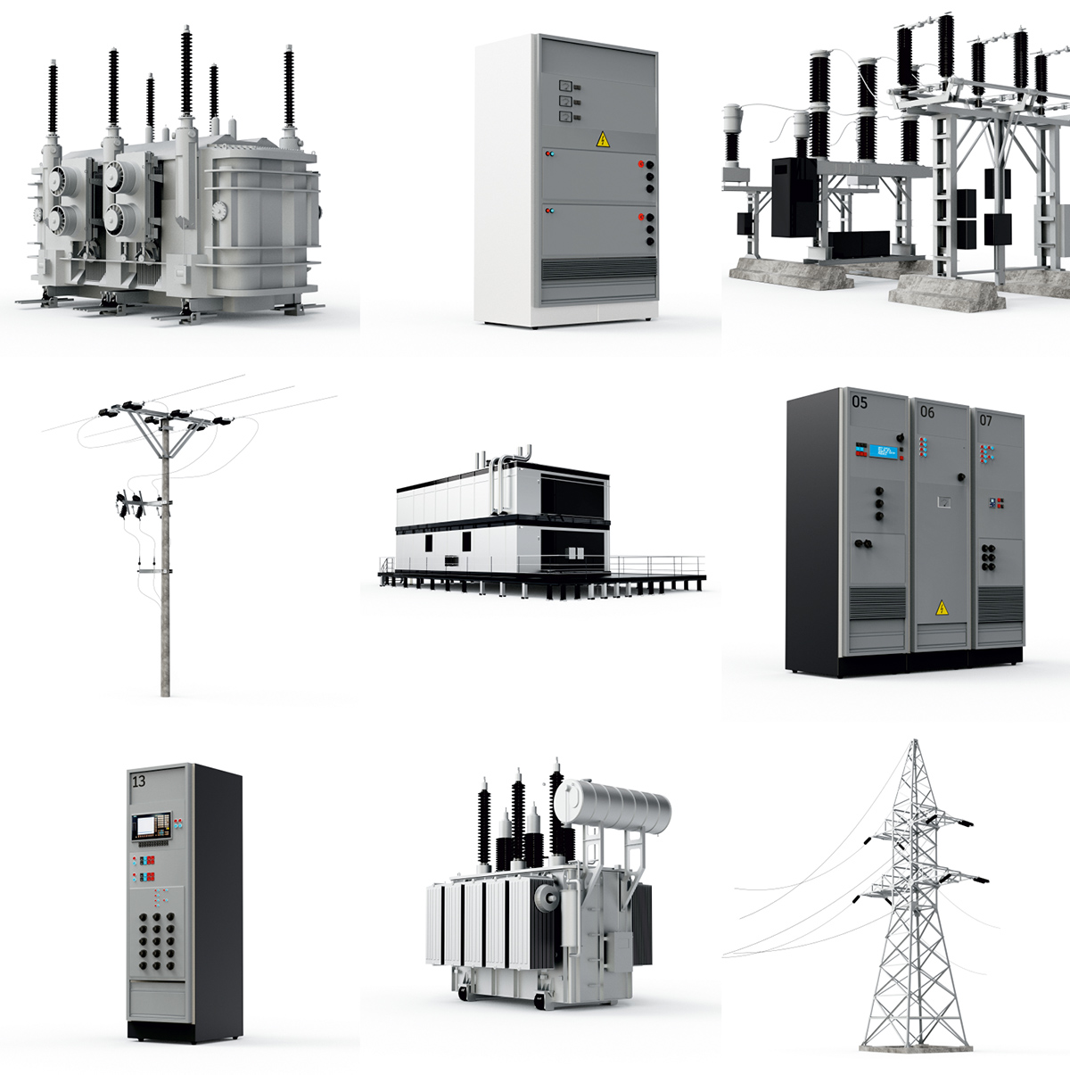
Energy and industrial facilities. Energy supply is the backbone of every economy. Visualize power plants, pipeline networks or the extraction and processing of raw materials with suitable 3D models. A huge selection of industrial buildings, machines and technical equipment is available for the detailed design of production facilities.
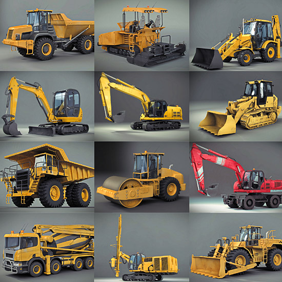
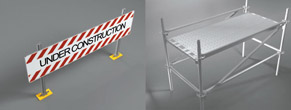
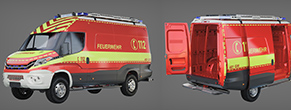
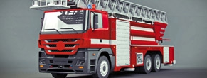
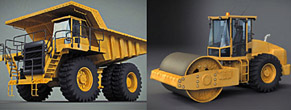
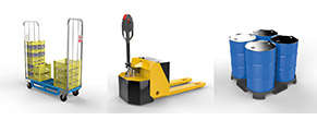
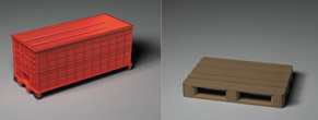
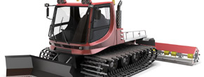
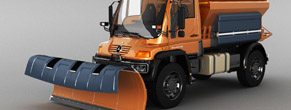
Construction sites and heavy machinery. A major project only becomes reality through the use of heavy equipment. Bring your virtual construction sites to life with detailed 3D models of cranes and construction machinery - perfect for construction-phase simulations and safety planning.

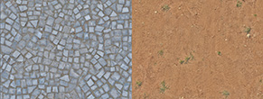
A convincing 3D model comes alive through its surfaces. Only the right texture gives a scene the necessary depth and authenticity. High-resolution, seamlessly tileable textures are specially optimized for the requirements of architecture and engineering.
.jpg)

| Criterion | 2D plans / drawings | Physical scale model | DOSCH 3D workflow |
|---|---|---|---|
| Understandable for citizens / investors | Low | Medium | High - photorealistic |
| Show project in real context | No | Limited | Yes |
| Simulate phases / traffic over time | No | No | Yes - animation |
| Populate whole districts quickly | n/a | Very slow | Yes - large libraries |
| Suited to digital twins / large scenes | No | No | Yes - performance-optimized |
| AI license / rights risk | No | No | No - 100% hand-modeled |
Does your project go beyond the standard range? Do you need a specific machine model, a unique component or an entire customized scene? Tailor-made 3D services are available for such cases. An experienced team of 3D artists will work closely with you to understand your individual requirements and transform them into precise, high-quality 3D models. This way, you receive digital assets that fit perfectly into your workflow and make your project unique.
The best 3D models and textures deserve a presentation of the highest quality. With professional rendering software you can transform your complex infrastructure scenes into breathtakingly photorealistic images and animations. Intuitive user interfaces and real-time rendering engines let you create impressive visualizations in a very short time, convincing investors, clients and project stakeholders. Such tools are ideal for impressively communicating the quality and richness of detail in your planning. From the initial idea to the final presentation, this creates a complete ecosystem for the 3D visualization of infrastructure projects: the combination of flexible 3D models, high-resolution textures and professional rendering capabilities lets even the most demanding projects be realized - in whichever rendering tool best fits your workflow.


Because it makes complex projects understandable for everyone. You can visualize plans in context, examine their impact on the surrounding area, and significantly increase acceptance among citizens and investors.
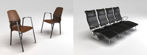
Massive time savings. Instead of creating thousands of buildings, trees, vehicles or street furniture yourself, you use our vast libraries and populate entire city districts in a very short time.
Yes. Our models are designed to enable good performance even in very large and complex scenes, for example digital twins of cities.
Absolutely. 3D data is the perfect basis for animations that let you impressively depict construction phases, traffic planning or the development of urban districts over time.
That is exactly what DOSCH 3D Services are for. We take your planning and geodata and use them to create meaningful visualizations, animations or virtual tours for you.
For all types of infrastructure projects: from urban and traffic planning to the visualization of wind farms and solar power plants, to large-scale construction and environmental projects.
No. Every DOSCH model is 100% hand-modeled with clean topology and clear, royalty-free licensing - unlike AI-generated meshes with uncertain quality and rights.